About

Welcome to my personal portfolio!

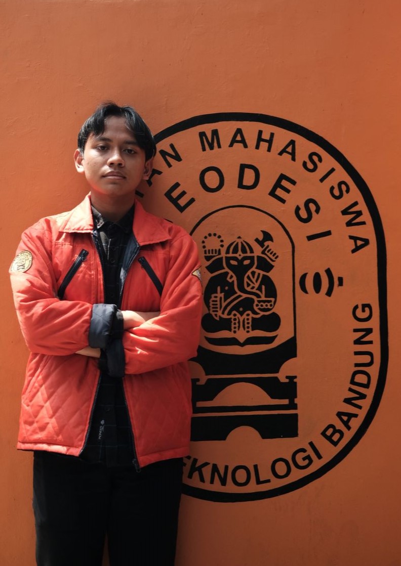
I am currently pursuing a Bachelor of Geodesy and Geomatics Engineering degree at Bandung Institute of Technology, where I am deeply interested in GIS, Data Science, Data Analytics, Machine Learning, Computer Science, and Web Development. My academic journey has provided me with a strong foundation in spatial data analysis, statistical methods, and geospatial technologies.

I am proficient in utilizing GIS tools and techniques to analyze geographic data and apply data science principles to extract insights from complex datasets. My interest in data analytics focuses on interpreting data to support decision-making processes.

In addition to my work in geospatial analysis, I am passionate about machine learning and its applications in predictive modeling and data-driven decision-making. My exploration in computer science encompasses a variety of algorithms and data structures, enhancing my ability to tackle complex computational problems.

Furthermore, I am enthusiastic about web development, where I create dynamic and responsive web applications. I am dedicated to continuously expanding my knowledge and skills by embracing new technologies and methodologies. Feel free to explore my work and connect if you have any questions or collaboration opportunities.

Interests

GIS Engineering

AI & Machine Learning

Web Development

Mobile Development

Data Sciences

Data Analyst

Data Structures & Algorithms

Cloud

Cyber Security

Remote Sensing

UI UX Design

Computer Science

Education

ITB

B.Sc. in Geodesy and Geomatics Engineering

July 2022 - Present
Relevant Coursework
  • Introduction to Computation
  • Mathematics I & II
  • Geodetic Computation I & II
  • Statistical Geodesy
  • Spatial Database
  • Photogrammetry I & II
  • Remote Sensing
  • Carthography
ITB

Specialization in Analytical Chemistry

July 2018 - June 2021
Coursework
  • Microbiological Analysis
  • Basic Chemical Analysis
  • Basic Techniques of Chemistry Laboratory Work
  • Conventional Quantitative Analysis
  • Instrumental Analysis
  • Proximate Analysis
  • Applied Chemical Analysis

Certificate

The Dean's List FITB ITB Semester II 2023/2024

Participants of The 10th International Seminar on Aerospace Science and Technology (ISAST 2024).

Online Course

Exploratory Data Analysis for Machine Learning

Cisco

Mathematics for Machine Learning Specialization

Algebra and Differential Calculus for Data Science

GIS, Mapping, and Spatial Analysis Specialization

Introduction to Computational Thinking and Data Science

Bootstrap

Introduction to Statistics

Time Series

Python

Professional

PT Pageo Utama

January 2025 - February 2025

Data Center Intern

  • Processed Multibeam Echosounder (MBES) data using CARIS HIPS and SIPS 9.0 software to generate high-resolution seafloor imagery.
  • Collaborated with experts to integrate MBES data with GIS platforms, enabling visualization and spatial analysis of marine infrastructure for engineering and environmental monitoring purposes.
  • Interpreted underwater objects and seafloor features, identifying structures, anomalies, and potential hazards to support detailed marine infrastructure mapping and analysis.

Organization

Ikatan Mahasiswa Geodesi ITB (IMG-ITB)

September 2023 - Present

Publication Division (July 2024 - Present)

  • Responsible for disseminating information to IMG-ITB members and relevant parties, and for managing and developing IMG-ITB's communication channels across various platforms, such as Instagram, Website, and TikTok.

GIS Division at Geopoint 2025 (July 2024 - Present)

  • Responsible for mapping and visualizing topography and plant inventory data, creating detailed and informative maps.
  • Responsible for providing WebGIS services, offering interactive online access to geospatial data for improved decision-making and data sharing.

Graphic Division (September 2023 - May 2024)

  • Responsible for managing and developing the static content of the official IMG-ITB website (imgitb.com).

Data Presentation Division at Geopoint 2024 (September 2023 - December 2023)

  • Perform digitization to convert objects such as roads, buildings, rice fields, and rivers, which were initially in raster format obtained through photogrammetry, into vector objects (polygons, lines, points).

Aksantara ITB

February 2024 - Present

Research Team in Mapping and Monitoring Division

  • Responsible for advancing the capabilities and applications of UAVs and Satellite Imagery in various fields such as geospatial mapping, environmental monitoring, and agricultural analysis through research.
  • Authored a research paper titled "The Use of Landsat-8 and ASTER Satellite Imagery to Analyze the Environmental Impact of Artisanal Mining in Santong Bay".

Google Developer Student Club ITB

Aug 2022 - June 2023

Member of the Machine Learning and Data Science path

  • Participating in workshops, seminars, and training sessions focused on machine learning and data science to enhance technical skills and knowledge.
  • Working on collaborative projects with fellow members to apply machine learning and data science techniques to solve real-world problems.
  • Proficient in Python programming, utilizing libraries such as Pandas, Matplotlib, Seaborn, Tensorflow and others for data analysis and visualization

Projects

  • All
  • Code
  • Geomatics
  • Under Development

LSB Steganography Tool

Cryptarithm

Research #3

Amazon Clone

Extreme Addition

Project #3

Research #2

Memory Games

Hand Gesture*

Project #2

Stopwatch

Research #1

Project #1

Global Wheater

Cafe Offering Database*

Skills

Languages & Databases

python matlab html css javascript kotlin mysql postgresql

Frameworks & Library

bootstrap tailwindcss angular reactjs pandas numpy matplotlib tensorflow scipy seaborn

Software

arcgispro arcgis qgis gee autocad envi snap

Tools

git github vscode intellij-idea pycharm jupyter

Design

figma canva blender

\qza